
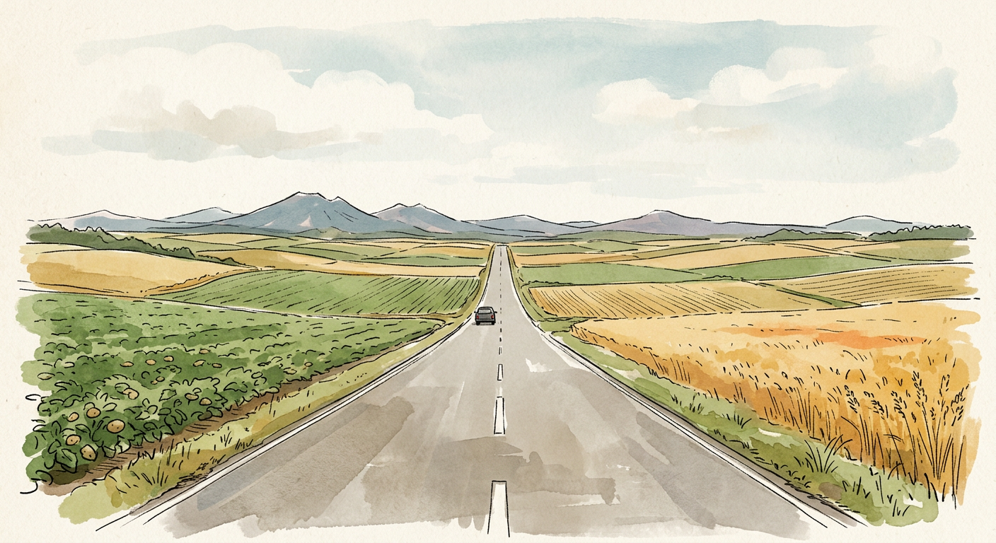
Hokkaido is an island the way Greenland is an island: on the map, and by definition. On the ground, the word stops doing any work. A drive from Hakodate in the far south to Wakkanai at the northern tip runs around 600 kilometers and fills most of a day, through farmland, mountain passes, and towns that have nothing to do with the sea.
“Island” comes loaded with expectations. An island is somewhere you can circle in an afternoon, where every road eventually bends back toward a beach. Hawaii and Okinawa train people to think this way. Hokkaido quietly refuses the whole idea.
The Numbers
The main island of Hokkaido covers about 78,000 square kilometers (roughly 30,100 square miles). Count the prefecture the way Japan officially does, with its small outlying islands and the disputed Kurils that Japan calls the Northern Territories, and the figure rises to about 83,400 km².
Either number makes Hokkaido about a fifth of Japan’s total land area. It holds only around 4 percent of the country’s population, roughly five million people, and close to two million of those live in Sapporo. Outside the capital region, the island is thinly settled by Japanese standards.
Among the world’s islands, Hokkaido ranks around twenty-first. Ireland sits just above it in size. Sri Lanka, Taiwan, and every other island in Japan except Honshu sit below.
Against Hawaii
The Big Island of Hawaii came by its nickname fairly. At about 10,430 km², it is the largest island in the United States, bigger than all the other Hawaiian islands put together.
Hokkaido’s main island would hold it about seven and a half times over. Take every main island in the Hawaiian chain, about 16,600 km² of land combined, and Hokkaido still swallows the lot nearly five times. Oahu, home to Honolulu and most of Hawaii’s people, could be laid across Hokkaido about fifty times.
The driving tells the same story. A full loop around the Big Island covers roughly 360 kilometers, a long but very doable day. A loop around Hokkaido’s coast runs well past 2,000 kilometers, closer to a week if anyone wants to see anything along the way.
Against California
California covers about 424,000 km², so Hokkaido fits inside it roughly five and a half times. That sounds like a win for California until you set Hokkaido beside other American states. The prefecture is almost exactly the size of South Carolina and larger than West Virginia, Maryland, or Hawaii’s entire state territory.
Latitude adds a twist. Hokkaido stretches from about 41.4° to 45.5° north, which places all of it north of California’s border with Oregon. Sapporo sits at roughly the latitude of southern Oregon or Boise, Idaho, and its winters, with several meters of snowfall a season, have more in common with the northern Rockies than anything in California.
Countries in the Same Weight Class
The fairest comparisons for Hokkaido are whole nations. Several countries, each with its own capital and its own regional divides, occupy about the same amount of land.
| Place | Area (km², approx.) | Against Hokkaido main island |
|---|---|---|
| Island of Ireland | 84,400 | About 8% larger |
| Austria | 83,900 | About 7% larger |
| Czech Republic | 78,900 | Nearly identical |
| Scotland | 77,900 | Nearly identical |
| Panama | 75,400 | About 3% smaller |
| Sierra Leone | 71,700 | About 8% smaller |
Scotland may be the most useful match. Both run from a populous south to a remote, weather-beaten north, and both sit at the edge of a larger country that tends to treat them as a single region. Few people visiting Edinburgh would assume they could see the Highlands, Skye, and Orkney in a weekend. Visitors to Sapporo make the equivalent assumption about Hokkaido all the time.
A few more benchmarks: the Netherlands, Belgium, and Luxembourg combined come to about 74,800 km², slightly smaller than Hokkaido. Taiwan would fit inside it twice with room left over.
How It Feels on the Ground
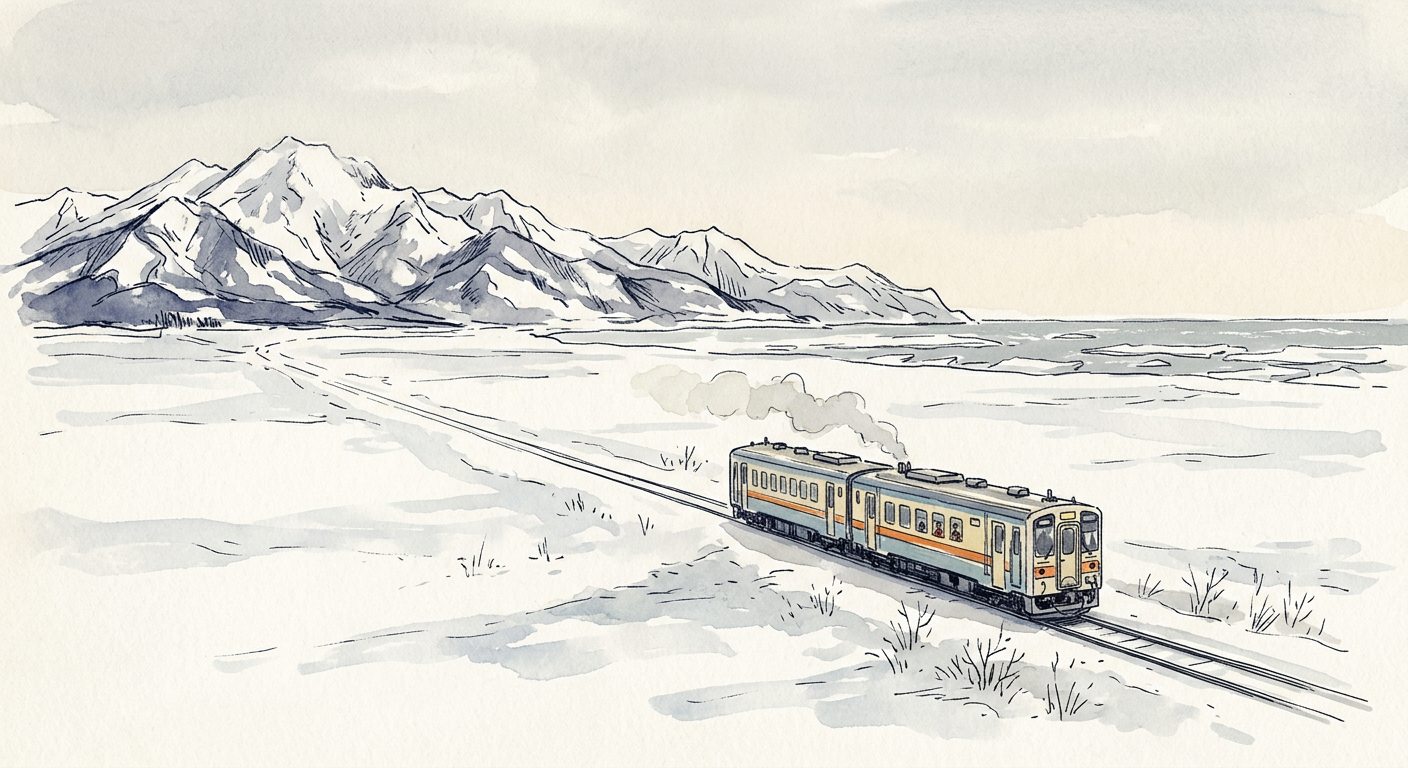
The size shows up first in travel times. Sapporo to Hakodate takes close to four hours by limited express train. Sapporo to Wakkanai takes about five. Sapporo to Kushiro on the Pacific side runs around four, and Nemuro, out on the eastern tip, sits a couple of hours beyond that. Winter stretches every one of those estimates, sometimes by a lot.
The sun keeps its own schedule too. All of Japan runs on one time zone, but Nemuro lies about five degrees of longitude east of Hakodate, so sunrise there comes roughly twenty minutes earlier. In June, the eastern coast sees daylight well before four in the morning.
The land itself changes along the way. The southwest has the hot springs and volcanic lakes around Noboribetsu and Toya. The center holds the Daisetsuzan range, Japan’s largest national park. The northeast has the drift ice of the Sea of Okhotsk and the Shiretoko Peninsula, home to one of the densest brown bear populations anywhere.
Planning Around It
The practical consequence is simple. A trip that treats Hokkaido as an island usually ends up as a trip to Sapporo with a couple of rushed day excursions. Treating it as a country works better: pick a region, base there, and save the far corners for another visit.
Japan itself seems to think of it that way. Hokkaido is the only one of Japan’s 47 prefectures to carry the suffix “dō” (circuit), a holdover from its administration as a frontier territory. It is split into fourteen subprefectures of its own, several of them larger than entire prefectures on Honshu.
All areas and travel times are rounded approximations.